Satellites and drones unlock hidden benefits in Michigan
The large drone zoomed low over a field of corn at Sandborn Farms in Portland, Mich., spraying fertilizer with strategic precision. Its path was based on reams of data that indicated which parts of the field could use a late-summer nutrient boost and where more fertilizer would go to waste, polluting the air and water.
As important as where the machine deposited its cargo was where it held back. Some of the poorest-growing sections of the farm are no longer planted with crops at all, aimed instead at supporting pollinators and other wildlife.
Precision agriculture — farming that harnesses technologies like drones, satellite imagery and artificial intelligence to improve yields, save money and reduce environmental harm — is already transforming the way the world grows food. But the innovations on display at Sandborn Farms take it a step further, into what’s known as precision conservation.
It’s a twist that elevates ecological benefits as a central goal instead of just a happy byproduct.
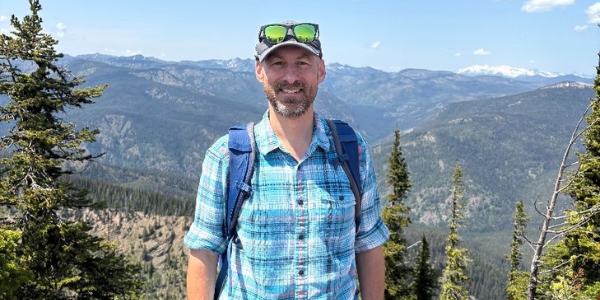
Watching the flight were Jeff Sandborn, a fourth-generation farmer, and Bruno Basso, a professor of sustainable

agriculture at Michigan State University whose research underpinned the effort and who is among the leaders of a growing movement seeking to harness technologies like these to increase yields and heal the environment all at the same time.
Dr. Basso is implementing precision conservation on farmland that is among the most industrialized in the world: the Midwestern Corn Belt. The way he sees it, the key is to identify which sections of fields have consistently ended up with low yields, and then to convince farmers that they can’t fix the problem by dumping more fertilizer there.
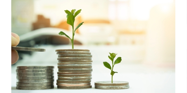
“We tell them, ‘You’re losing money,’” Dr. Basso said. By putting more nitrogen in certain productive sections and less or none in others, he said, yields will improve, farmers will reap more profit and the planet will suffer less harm.
When nitrogen, the most important fertilizer for crops, isn’t taken up by a plant, it can wreak environmental havoc. It escapes into the atmosphere as a greenhouse gas that’s 300 times as potent as carbon dioxide. It runs off into streams and other waterways, triggering algae blooms that kill off aquatic life. And it leaches into groundwater, posing risks for human health.
To determine which areas of farmland are consistently contributing the most to this problem, Dr. Basso analyzed 15 years of satellite imagery across 120 million acres in 12 states. The colors reflected by plants reveal clues about their health (any gardener knows the worry of seeing a plant that was once deep green turning yellow). Using satellite imagery to assess those colors digitally and over time reveals which areas consistently produce thriving crops, which areas vary depending on changes in weather, and which areas never grow well, no matter the conditions. Taking those last areas out of production would have major implications for biodiversity and environmental health.
“If Bruno’s models play out on the landscape, then they are one of the greatest conservation opportunities that is imaginable to me,” said Nick Haddad, a conservation biologist at Michigan State who works with Dr. Basso on some research projects. “And this conservation land is hidden in plain sight.”
Dr. Haddad, an author on a recent study that found the lower 48 United States had lost 22 percent of their butterflies in only 20 years, said that small conserved areas are essential to tackling insect declines. Research at his lab suggests that insects do as well or better in such patches as they do in the larger prairie sites used as reference, even though the small sites are near areas where pesticides are used.
“These are ecological refuges for insects,” he said.
As big as the potential is — millions of acres of conserved land without reducing yield, Dr. Basso’s research indicates — the work on the ground is still small. Farmers remain reluctant to take areas in the middle of fields out of production, even if that’s what the data recommends, because that makes it harder to work the land.
Across Michigan, 10 large farms in a pilot program with Dr. Basso have placed 450 acres, dotted throughout hundreds of fields, into biodiversity conservation. The farmers receive $200 per acre through a federal grant that survived the Trump administration’s widespread cuts this year. They are also using his nitrogen prescriptions across 23,000 acres. Collectively, those measures result in a carbon dioxide equivalent reduction of about 4,000 tons per year, Dr. Basso said. That’s similar to the yearly energy use of about 500 homes, according to the Environmental Protection Agency.
Working with Dr. Basso, Mr. Sandborn has taken a patchwork of roughly 40 of his 1,800 acres out of production. He planted a native seed and pollinator mix but it didn’t thrive, so he added clover to create a buffer for deer, hoping they’d munch on that instead of his corn. Between that and the strategic nitrogen application on the rest of his land, he’s saved more than $7,000 on fertilizer over six years while increasing yields.
The two men met more than a decade ago, when Mr. Sandborn followed Dr. Basso out of a meeting, fascinated by his presentation and eager to put the increasingly large amount of data collected by his increasingly sophisticated farming equipment to use.
“If I can do something that creates better yield and costs me less, and, oh, by the way, it has an environmental potential benefit, why not?” Mr. Sandborn said.
Read the full story in The New York Times.